Aerial Mapping and Imagery Services in Utah
Detailed Aerial Mapping for Smarter Land Management
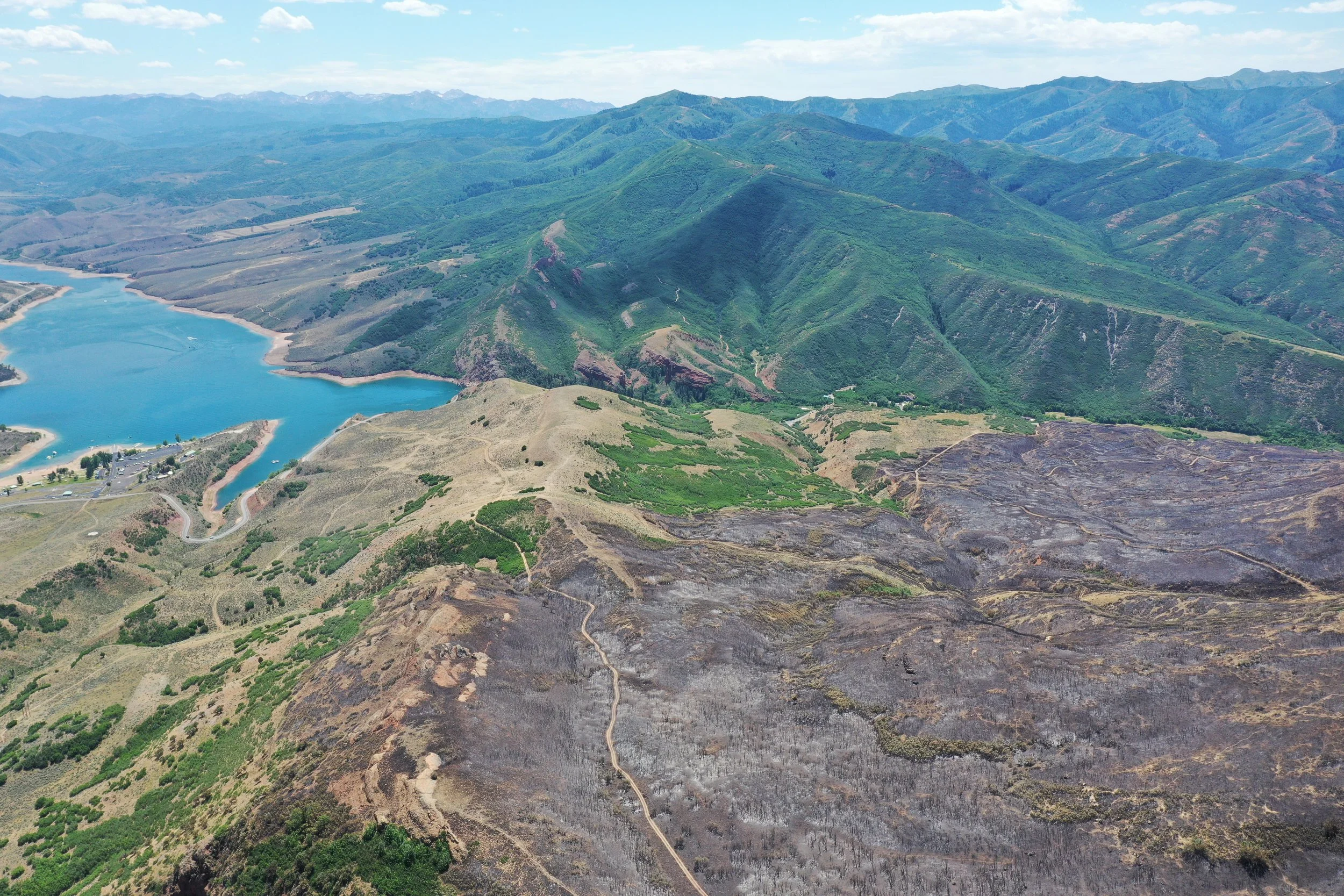
We generate and deliver high-resolution UAS aerial and mapping imagery to assist with the planning phase of your home or community defense and land management strategies.
What Our Aerial Mapping Services Include:
Forest structure and hazardous fuels analysis
Landscape aerial imaging & modeling
Geo-referenced orthomosaic maps
Project boundary marking
Partner with Alpine Forestry to map your land in high resolution for defensible space, fuel reduction, or landscape planning anywhere in Utah.