

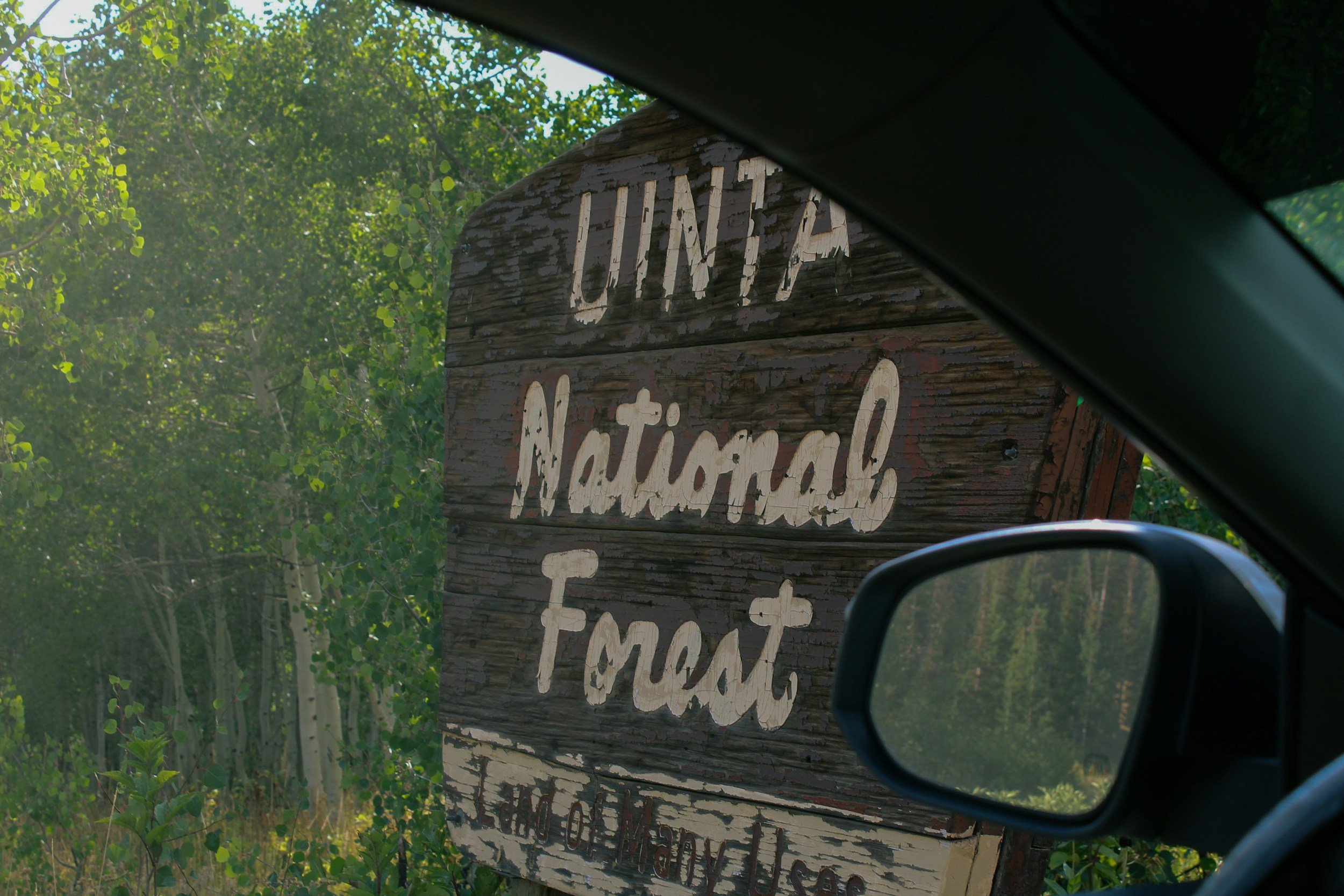
Your Go-To Utah Summer Hiking Guide
From Wasatch ridgelines to red rock canyon country: the trails worth checking out this summer, broken down by region, with honest notes on what to expect and what to bring. Let’s get to it!
Every trail below links to AllTrails, which is the best place to check current conditions, closures and alerts, local weather, surface type, recent hiker reviews, and live maps and tracking. Conditions in Utah change fast in summer, so it is always worth a look the morning of your hike. Stats here reflect AllTrails data at time of writing.
Northern Utah / Salt Lake Valley
Best for: families, urban adventurers, all fitness levels, wheelchair and stroller access, day trips from the city
The most accessible high-country stroll in the Wasatch, and the only ADA boardwalk in the range. A nearly flat loop circles the lake on sturdy boardwalk and gravel, with benches, picnic tables, interpretive signs, and fishing platforms along the way. It sits at 8,760 feet, so it stays cool on hot valley days, and the July and August wildflowers are exceptional. Perfect for strollers, wheelchairs, grandparents, and little legs. Keep an eye out for moose.
- Wheelchair and stroller friendly (ADA boardwalk)
- No dogs (Big Cottonwood watershed)
- No swimming or wading
- Parking or visitor center fee
- Bathrooms and water at the visitor center
- Features: lake, wetlands, wildflowers, wildlife
A short drive from Salt Lake City and a favorite for families, this one ends at a waterfall that pours through a hole in the rock. Bathrooms are at the trailhead and there is a parking fee. The trail sits in a protected watershed, so swimming is off limits, and it is safest to skip the scramble near the falls. Stay on the designated path to protect the area and respect nearby private property. The Cottonwood Canyons Foundation maintains this trail.
- Parking fee required (USFS Recreation Fee Area)
- No dogs allowed (Big Cottonwood watershed)
- No swimming (protected watershed)
- Kid-friendly, bathrooms at trailhead
- Rocky in spots; avoid scrambling near the falls
- Features: forest, river, waterfall, wildflowers, wildlife
A popular foothills hike that climbs to an overlook where the rock formations are stacked like chairs and couches, which is exactly how it got its name. You will share the trail with hikers, bikers, runners, and dog walkers, especially where it crosses the Bonneville Shoreline Trail. Park along Colorow Road near the Natural History Museum and Red Butte Garden. The trail narrows in places and follows an old wash, and there are a lot of side paths, so download a map before you go. There is almost no shade, so bring plenty of water in warm weather.
- Dogs on leash
- No shade, rocky in spots
- Park along Colorow Road
- Download a map (many side paths)
- Features: views, wildflowers, wildlife
This one earns its views. The trail follows the south fork of Mill B Creek, then climbs through aspen forest to the scenic Lake Blanche, with the smaller Lake Florence and Lake Lillian nearby. Keep in mind this is both designated wilderness, so no bikes or drones, and a protected watershed, so no dogs and no entering the water. It is a heavily used trail, and bathrooms are at the trailhead. Skip it in winter due to avalanche terrain. The Cottonwood Canyons Foundation helps maintain it.
- No dogs (designated wilderness and watershed)
- No swimming, no bikes, no drones
- Bathrooms at trailhead
- Some scrambling and rocky sections
- Not recommended in winter (avalanche terrain)
- Features: lakes, forest, river, waterfalls, wildflowers, historic sites
Park City / Wasatch Back
Best for: all ability levels, aspen groves, paved family strolls, mixed hiker and biker traffic
A wide, mostly paved path that is one of the best easy walks in Park City. It follows McLeod Creek through wooded areas, over bridges, and past the iconic white McPolin barn, with gentle grades the whole way. Stroller and dog friendly, and easy to make as short or long as you like since there are several access points. There is little shade, so morning or evening is best in summer.
- Dogs on leash welcome
- Stroller and wheelchair friendly (paved sections)
- Shared with bikes
- Little shade; go early or late in summer
- Multiple access points to shorten the walk
- Features: creek, meadows, bridges, mountain views
A family-friendly hike at the top of Big Cottonwood Canyon in Wasatch County, with classic spring wildflowers and fall color. It starts above 9,000 feet, so bring a layer even on a warm day. Short sections are steep and rocky. Dogs are allowed on leash up to Bloods Lake but not at the lake itself. You can extend the route on the Lupine and Kalamazoo trails on the way back. Bloods Lake is very popular in summer and fall, and parking fills early, so check the trailhead parking camera before you head up.
- Dogs on leash to the lake; not allowed at the lake itself
- Kid-friendly; starts above 9,000 ft
- Short steep and rocky sections
- Parking fills early; trailhead cam at mountaintrails.org/parking-cams
- Trail connection to Guardsman Pass is permanently closed
- Features: lakes, forest, views, wildflowers, wildlife
A classic Park City loop known for its stunning aspen groves. The Armstrong Trail offers a steady, gentle climb, which makes the uphill pleasant rather than punishing. Part of Dawn's Trail is hiking only, and the rest of the loop is multi-use, so expect to share. Dogs are welcome but must be on a physical leash per city ordinance. Park at the PCMR lot or take public transit to the trailhead.
- Dogs on leash (physical leash required by ordinance)
- Mostly multi-use; part of Dawn's Trail is hiking only
- Park at PCMR lot or take transit
- Currently start at Spiro due to closure
- Features: aspen forest, views, wildflowers, wildlife
A great option right from downtown. Start at the base of the Town Lift next to The Bridge Cafe and Grill on Main Street, climb to the top of Treasure Hill near the historic Silver King and Bonanza mines, then ride the Town Lift back down. The AllTrails map shows the first quarter mile along city streets to Lowell Avenue, but there is a direct trail straight from the lift base.
- Starts right on Main Street (825 Main St)
- Ride the Town Lift down to save your legs
- Shared with mountain bikers
- Direct trail from lift base (skip the street section)
- Features: forest, views, wildflowers, historic mining sites
Central Utah / Moab / Canyonlands
Best for: experienced hikers, red rock arches, family swimming holes, early starts, photographers
The local swimming hole, and the place to be on a hot Moab day. A short, mostly flat walk leads into a pretty canyon and reaches several small waterfalls with swimming areas. The hike in is casual, beautiful, and family friendly, though after the first swimming hole the trail gets much harder to follow. Dogs are welcome. Cliff jumping here is genuinely dangerous since pool depth is inconsistent and broken ankles are common, so admire the water rather than leap into it.
- Dog-friendly
- Trail gets hard to follow past the first swimming hole
- Cliff jumping is dangerous; pool depth is inconsistent
- Rocky in spots; flash flood risk June to October
- Access road limited to vehicles under 22 ft
- Features: river, waterfalls, swimming areas, canyon
This should be near the top of the list for anyone visiting Moab. Outside Arches National Park, Corona and Bowtie are two of the most accessible and prominent arches around. The trail starts near the Gold Bar camping area along Potash Road, right beside the Colorado River. You will cross the railroad tracks and climb up onto the slickrock benches of Bootlegger Canyon. One short section has ladders and safety cables with exposed drop-offs, so it counts as a scramble. Dogs are allowed on leash, but not every pup can manage the ladder.
- Dogs on leash; ladder section is tough for some dogs
- Ladders and safety cables, exposed drop-offs
- No shade; start at sunrise in summer
- Trailhead off Potash Road near Gold Bar
- Features: arches, views, wildflowers
The whole trail is decorated with wild rock formations sculpted from soft red sandstone, and that spectacle is what makes the hike so memorable. The last major tower is the Titan, which you reach around 1.5 miles in, after which the path runs along a ridge with a majestic view of the Towers. Dogs are allowed on leash, though a small ladder about 1.5 miles in can be tricky for large dogs. Stay on the trail to protect the living biocrust soil, which takes decades to recover. Grand County requires portable toilet systems, so pack out all solid waste and toilet paper.
- Dogs on leash; small ladder tough for large dogs
- No shade; scramble and rocky sections
- Portable toilet system (WAG bag) required in Grand County
- Stay on trail to protect biocrust soil
- Limited cell service; tell someone your plan
- About 16 miles from Moab via Route 128
A canyon hike that leads to the impressive Morning Glory Natural Bridge. The arch is the headliner, but the whole trip is full of beautiful, water-sculpted sandstone. You will hike through water in a few spots and cross the creek several times, with a bit of light scrambling along the way. Hikers describe it as more fun and a little harder than expected, with a narrow river walk and plenty of sand, so come prepared and start early.
- Dogs on leash
- Creek crossings and water sections; expect wet feet
- Light scrambling, rocky, no shade
- Sandy, narrow river walk in places
- Features: river, waterfalls, natural bridge, views
Southern Utah / Zion / Bryce
Best for: bucket-list hikes, families, dogs (on the Pa'rus), out-of-town guests, all levels with the right trail
Some of the most breathtaking views in Zion for relatively little effort. The trail sits in the Upper East Canyon, which means the shuttle does not stop here and you must enter the park by private vehicle. You can spot the overlook from the switchbacks on Route 9, and after the tunnel the parking area is on your right. Parking is very limited, with overflow lots further down the road. The path climbs stone steps, passes through shaded alcoves and a moist grotto, and crosses bare slickrock to the cliff edge. From the top you can take in the West Temple, Towers of the Virgins, and the Great Arch recessed below.
- Park entry fee required
- No dogs; kid-friendly (lots of stairs)
- Must enter by private vehicle, no shuttle stop
- Very limited parking; overflow down the road
- Rocky, no shade
- Features: caves, rivers, views
The most popular hike in Zion, and a technical one with steep drop-offs, scrambles, and very narrow sections. Although chains protect many parts, the final push to the landing is Class 3 terrain because of the exposure and steep drops on either side. Start at The Grotto Trailhead or take the West Rim Shuttle. The first few miles along the West Rim Trail are paved, with shade and a cool breeze in Refrigerator Canyon, then you reach Walter's Wiggles, a set of 21 switchbacks. From Scout Lookout, a steep narrow ridge with anchored chains leads to the landing, 1,500 feet above the canyon. Avoid it when wet, stormy, or windy, and budget extra time.
- Permit required (park lottery) plus entry fee
- No dogs; not for those with a fear of heights
- Class 3 terrain, steep drop-offs, narrow ridge with chains
- Start at The Grotto or take the West Rim Shuttle
- Avoid when wet, stormy, or windy; go early in summer heat
- Parking fills quickly; arrive early
One of the best ways to experience the hoodoos and spires of Bryce, taking you past iconic features like Queen Victoria and Thor's Hammer. Start along the Navajo Loop toward Sunset Point for fantastic canyon views, then head down through Wall Street, a narrow slot canyon, past Thor's Hammer and the Two Bridges. At the Queens Garden junction you walk right among the towering hoodoos before climbing back to the rim. Hikers love arriving early; one reviewer got there around 6:15am to easy parking, beautiful weather, and views that had their nine year old gasping.
- Park entry fee required
- No dogs; kid-friendly
- Wall Street side closed Mon–Thu mornings through 2026
- Rocky; sits above 8,000 ft, bring a layer
- Arrive early for easy parking and cool temps
- Features: hoodoos, forest, views, wildlife
The most accessible trail in Zion, and the only one that allows dogs and bikes. This wide, paved path follows the Virgin River from the visitor center to Canyon Junction, with footbridges, cottonwood shade, wildflowers, and grazing mule deer along the way. It is wheelchair and stroller friendly and makes a beautiful sunset or stargazing walk. One serious caution: the Virgin River here can carry toxic algae that is fatal to dogs, so if you bring a pup, never let it drink or wade in the water.
- The only Zion trail that allows dogs (on leash) and bikes
- Wheelchair and stroller friendly (paved), kid-friendly
- Toxic algae in the river is fatal to dogs; keep them out of the water
- Park entry fee required
- Hot in midafternoon; best at sunrise or sunset
- Features: river, footbridges, wildflowers, canyon views
A few things worth knowing before you go
The things that matter on every trail
The fastest way to see current conditions, closures, weather, surface type, recent reviews, and live maps. A two minute check before you leave can save your whole day.
July through September, storms build fast over the mountains. If you hear thunder, get off ridgelines right away. Lightning above treeline is not something to be casual about.
In Moab and Southern Utah, plan your whole day around temperature. Be at the trailhead by sunrise, back at the car before midmorning. A liter of water an hour is the floor, not the target.
A 90 degree valley day can be a windy 55 at 11,000 feet. Trails like Lake Blanche and Bloods Lake start high and stay cool. Always pack one more layer than you think you need.
Big Cottonwood watershed trails like Donut Falls and Silver Lake allow no dogs at all. Parks restrict them heavily. Pa'rus is the one dog-friendly trail in Zion. Check trail by trail.
Moab trails sit on living biocrust soil that takes decades to recover from one footprint. Stay on trail, pack out everything including waste with a WAG bag in Grand County, and share your route.
People come to the trail for the sound of it, the wind, the water, the birds. Never blast music from a speaker. If you want a soundtrack, bring headphones and keep one ear open for bikes and wildlife.
If your property backs up to forested terrain or sits in a wildland-urban interface area, summer fire season is also the time to think about defensible space. A quick assessment before you head out for the weekend is worth it. Alpine Forestry works with homeowners across the Wasatch on exactly that.
Get in Touch